

|
Official BOM Victoria State Daily Observations |
Australian Government Bureau of Meteorology
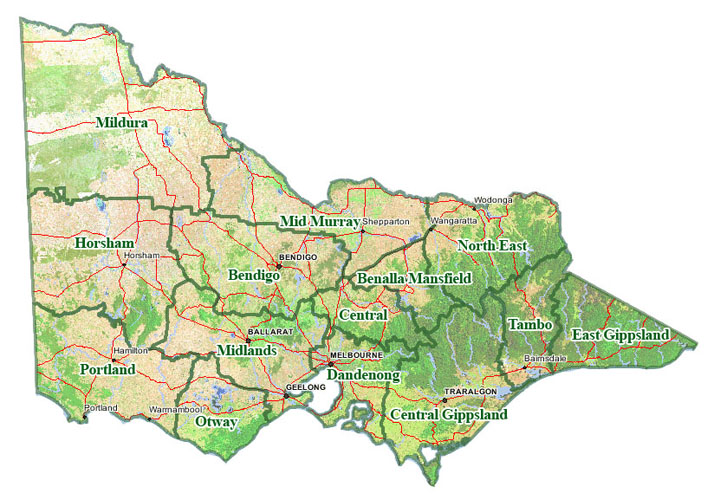
Victoria
Notes on the Weather
Issued at 4:30 pm EDT on Wednesday 5 November 2025.
Recent Events
Showers, tending to patchy rain and snowfall about the east, eased to isolated
showers overnight. By sunrise this morning, most of the showers were confined
to on and south of the ranges. in a broad westerly flow across the state. In
the 24 hours to 9am today, the highest rainfall recorded away from Alpine areas
was 40 mm at Daylesford, followed by 33 mm and Yarragon South and 29 mm at
Maffra. Much of the precipitation in the Alpine areas fell as snow some
significant snow falls reported at Mt Hotham, Mt Buller and Falls Creek.
Overnight minimum temperatures were generally between 1 and 3 degrees below
above the monthly average. Minima mostly ranged between 6 and 10 degrees. The
lowest recorded temperature overnight was minus 3 degrees at Mt Hotham. The
highest overnight minimum temperature was 10 degrees at several locations
including Hopetoun, Melbourne, and Bairnsdale.
It was partly cloudy today with isolated showers persisting across the south of
the state. The skies cleared across the Mallee by the middle of the afternoon.
Rainfall totals in the 7 hours to 4pm this afternoon were light, with many
gauges in the Alpine area recording snow melt.
Maximum temperatures were generally 3 to 7 degrees below the November average.
Maxima mostly ranged between 14 and 20 degrees. The highest temperature
recorded to 4pm was 24 degrees at Mildura. The lowest recorded maximum was 1
degree at Mt Hotham.
In Melbourne the temperature ranged from 10.3 degrees at 6:07am to 20.0 degrees
at 3:23pm. There was 1mm of rain recorded in the city gauge to 9am this
morning, with no further rainfall between 9am and 4pm.
This 'Notes on the Weather' product will be retired after 5 November 2025. This
is the final issue of this product.
Explanatory Notes
A westerly airflow will turn more northerly on Thursday as a high pressure
system passes over southern NSW tonight and over the Tasman Sea on Thursday. A
low pressure system over SA is expected to enter western Victoria later Friday
morning, reaching eastern districts by Friday night. A cooler southerly flow
will extend across the state on Saturday as the low moves east across the
Tasman Sea and a new high settles south of the Bight during Sunday.
Copyright Commonwealth of Australia 2011, Bureau of Meteorology (ABN 92 637 533
532). Users of these web pages are deemed to have read and accepted the
conditions described in the Copyright, Disclaimer, and Privacy statements
(http://www.bom.gov.au/other/copyright.shtml).