|
| LOCALLY: |
Today |
Yesterday |
| High: |
12.3°C
14:44 |
13.9°C
13:58 |
| Low: |
6.4°C
09:00 |
2.3°C
06:33
|
Mth High: |
15.9°C |
8/7/2026 |
| Mth Low: |
-0.9°C |
9/7/2026 |
Year High: |
42.5°C |
9/1/2026 |
| Year Low: |
-0.9°C |
9/7/2026
|
|


|
SW
0.4
Gust:
1.8 km/h
|
|
0 Bft -
Calm
|
| 60-Min Avg: |
2.1 km/h
|
| 120-Min Avg: |
2.6 km/h
|
| Max Gust: |
29.6 km/h
at
11:33
|
| Month Gust: |
75.1 km/h
on
Jul 1
|
|
| Today: |
0.9 mm
|
| Yesterday: |
0.6 mm
|
Last
Rain: |
16/7/2026
07:45 |
| July: |
26.8 mm
|
| July Avg: |
42.70 mm
|
| Last 7 Days: |
11.8 mm |
| Rain Season:2 |
337.6 mm
|
| Last YTD Rain:2 |
252.5 mm
|
| Rain Days: |
78 in 2026
|
|
12 rain days in July. |
|
|
 Barometer ( hPa) Barometer ( hPa)  |
 Humidity/Dew Point Humidity/Dew Point |
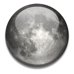 Moon Moon |
| Current: |
1038.9 hPa

|
| 1-Hr Trend: |
Rising slowly
|
| 3-Hr Trend: |
Rising |
High
Today: |
1038.9 mb
at 08:45
|
Low
Today: |
1035.1 mb
at 14:14
|
|
| Humidity: |
94 %
|
| In Last Hour: |
0% |
Humidex: |
11.0°C
|
| Dew Point: |
9.2°C
|
| In Last Hour: |
+0.1°C |
Wetbulb: |
9.6°C
|
|
|
Waxing Crescent |

|
3%
Illuminated
|
|
 UV Forecast UV Forecast |
 Current Solar Energy Current Solar Energy |
|
16/07/2026
Low
1.9
|
|
17/07/2026
Low
1.9
|
|
18/07/2026
Low
2.0
|
|
| Energy:
20 W/m2
(9 %)
|
| High:
446 at
11:44 |
| Feels like:
11.9°C
|
|
 Wind Chill
 |
 Heating Degree Days Heating Degree Days |
 Sun Sun
|
| Current: |
10.1°C
|
| Today: |
5.2°C
at 09:31
|
| Yesterday: |
1.5°C |
| Last Week: |
-0.5°C |
| Record: |
-6.8°C
10/08/2019
|
|
| Today: |
2.8 |
| July: |
156.1 |
| 2026 to Date: |
769.9 |
 Cooling Degree Days Cooling Degree Days |
| 2026 to Date: |
155.7 |
|
Daylight:

09:48
+00:01:10
Minutes
|
|
 Almanac Almanac |
 Webcam Webcam |
 Station All Time Records Station All Time Records
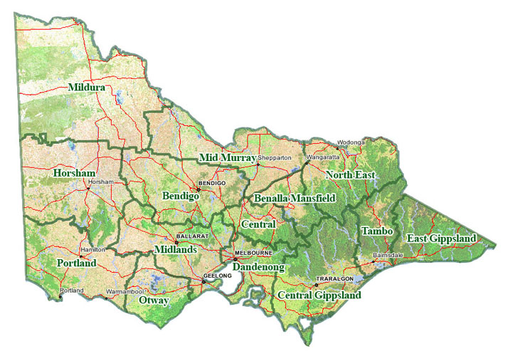
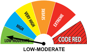
|  Fire Risk Fire Risk |
| Currently: |
Morning |
| Sunrise: |
07:32 |
| Sunset: |
17:20 |
| Moonrise: |
08:58 |
| Moonset: |
18:13 |
| Full Moon: |
29 July 2026 |
| New Moon: |
17:37 UTC 12 August 2026 |
|
|